Tag Archives: MTB

ADRENALINE NIGHT RIDES


Experience the magic of night trail riding in the Sonoran desert at the Adrenaline Night Trail Rides held on a rolling 9.5 mile loop at McDowell Mountain Regional Park. This is a perfect beginner night ride with distances for all. Ride past towering saguaro cactus under the night stars!

This race is the 2nd in the Insomniac Night Trail Ride Series with events across the greater Phoenix, Arizona area. Join us and “Carpe Noctem” to “seize the night”!

Register Now

FRENZY HILLS RIDES

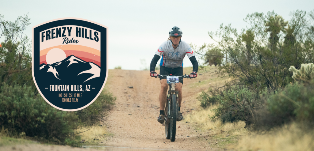
Frenzy Hills Rides is a choose-your-own-adventure day on two wheels at McDowell Mountain Regional Park in Fountain Hills. With mountain bike and gravel distances ranging from 8 miles all the way to 100 miles, there really is an option for almost every kind of rider.

The courses roll through classic Sonoran Desert terrain using portions of Escondido, Pemberton and the Long Loop trails, with saguaros, wide-open desert and some of the Valley’s most recognizable mountain views as the backdrop. Riders looking for an endurance challenge can take on the 100 or 50-mile races, while 25, 15 and 8-mile options make the event accessible to riders who aren’t interested in spending their entire day in the saddle.

Frenzy also includes a 9-hour relay, junior races and a 25-mile Adaptive MTB race, making this much more than an event for hardcore endurance racers.

Prefer skinny-ish tires and drop bars? The Frenzy Gravel Grinder takes advantage of the smoother, less technical portions of McDowell Mountain Park, with 25, 50 and 100-mile gravel options, along with duo and quad relay categories.

Mountain bike or gravel. Solo or team. Eight miles or a hundred. Pick your bike, pick your distance, and spend a cool Arizona day riding through some spectacular Sonoran Desert country.

Pleasantville

OLYMPUS DIGITAL CAMERA

When:
December 5, 2026  7:30am

Where:
We’ll be hosted by the #1 Trail Angel of the Tour Divide (Kirsten of the famed Brush and Mountain Lodge) who now has a home in Anthem, AZ and is letting us stage the ride from her casa – 2307 West Desert Hills Drive, 85086.

Parking: fill her front yard. Then overflow parking along 23rd Ave. Let’s try to keep Desert Hills Dr. clear this year.

Please bring a beverage & snacks to share for post-ride. Let’s show Kirsten how we roll here in AZ!!

What:
This is a big loop around Lake Pleasant – almost 60 miles. It will include some trail, some dirt roads and some other stuff. You may have to get slightly creative with routing on the north end of the lake – depending on lake levels. Same with riding along the Agua Fria. Could be “interesting” if the river is high.

Route:
As always, it is HIGHLY recommended that you bring, and know how to use, a GPS for this race. There will be no maps or cue sheets.

Pleasantville_route

Bonus: New for 2022 is a slight diversion (.3 miles down a dirt road) on the north side of the lake to to check out Solo Spring. Take a selfie at the spring and get a 20 minute bonus. Also, there is water behind that concrete wall – a couple of feet deep. Good for filtering if you are low.

Tonto Mountain Rides


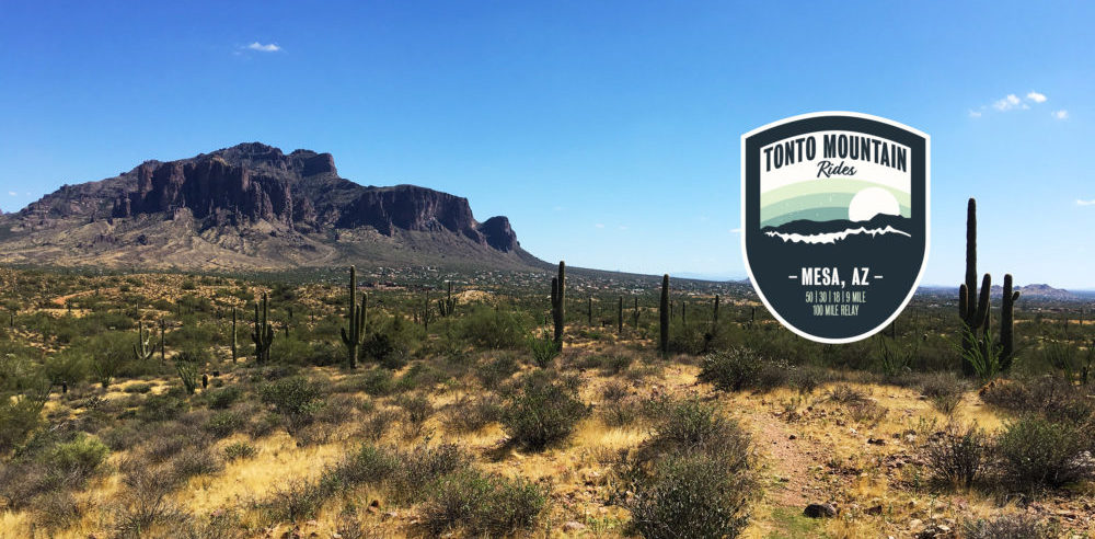
Come explore the hills that once brought gold prospectors out to the desert in search of new fortunes! Join us for our inaugural ride of this exciting race. Choose from our relay or solo divisions, with a distance to fit riders of all calibers. All rides will start and finish at Usery Mountain Regional Park in Mesa, AZ, with the iconic Superstitions looming in the background.

Register Now

Picketpost Punisher – Arizona Endurance Series

Picketpost Punisher

ppp

When:
November 15, 2025
The B (49 miles) and C (22 miles) routes will start at 7:30am. The A route (76 miles) will start at 5am.

Where:
You will  start at the Picketpost trail head off of Route 60 near Superior, Arizona. This is about 60 miles east of Phoenix and about 5 miles west of Superior. If you pass the Boyce Thompson Arboretum, you’ve missed the trailhead turnoff. You can get directions to the start here.

The trailhead has pit toilets, but no water. Also no trash receptacles – pack it in, pack it out.

Camping is NOT allowed at the trailhead. There are however,  a bunch of places to primitive camp beside the road that leads to the trailhead.

What:
The Punisher will once again be split into 3 different lengths so that you can choose the amount of punishment you deserve. Make sure you review the GPS files.

The C ride will be the shortest AES ride ever. A measly 22 miles and about 2300 feet of climbing. In place of FR4, you’ll get to ride new trails in Arnett Canyon. The route will climb on dirt roads part of the way up Montana Mountain. The descent back down will be on the Arizona Trail back to the Picketpost trailhead. Easy peasy.

The B ride is heading south this year. It is actually a subset of one of the previous year’s A route – without crossing the Gila River. You will head south on the Arizona Trail to FR4, then turn south on FR4 (it is not closed in this area). You’ll climb up on the ever lovely Telegraph Canyon road, then down, past Ajax Mine to Box Canyon. There will be a hard left to get you over to Martinez Canyon. After traversing the “brass knuckles” you’ll end up at the Gila River not far from the Arizona Trail. Filter water at the river, then head north to the AZT – all the way back to Picket Post.

The B ride has an opportunity for a time bonus. You’ll notice a little additional part of the route in Box Canyon. This goes to a section where the canyon gets very narrow – really cool to see. This is an out and back of about 3.75 miles. Do this and take a selfie. Your selfie, along with your GPS track, will get you an hour deducted from overall time.

The A ride (aka: The Pulverizer) will be the same stroll in the park as last year. You’ll begin by heading south on AZT down to the Gila River. You’ll cross the river (good chance to filter water) and start climbing to Florence-Kelvin Highway. You’ll then bomb down that dirt road all the way to Kelvin Bridge. From there it is AZT all the way back to the start.

READ THIS IF YOU ARE THINKING ABOUT DOING THE A RIDE:

The A ride is a seriously difficult ride. It is only for very experienced and capable back country endurance cyclists.  One of your sources of water is the Gila River – and that needs to be filtered. If you cannot meet the following criteria, don’t even bother:

1. You must have a GPS and know how to use it. There are no trail signs and it will be very easy to get lost.
3. You need to be prepared to be on your bike for 10-15 hours or more. Some VERY fast folks have done this in 10 hours. Expect it to take longer for most everyone else. 
4. You must have lights and be comfortable with riding at night in challenging terrain.

Water:
In a race of this length and remoteness, water is a concern. Bring as much as you can! We’ve done some scouting and found some possible and some dependable water sources. Water sources are marked (as waypoints) on the GPS files.

Route:
It is HIGHLY recommended that you bring, and know how to use, a GPS for this race. The Legends of Superior section has lots of areas where it is easy to miss the trail and get off course. Using a GPS and paying attention are the best ways to stay on course and not get lost. GPS files for all three courses can be obtained at the links below.
PPP_C_route
PPP_B_route(punisher)
PPP_A_route(pulverizer)

Kentucky Camp – Arizona Endurance Series

When:
October 24, 2026 at 9:00 am (9:15 start time for those doing the short course)

Where:
Kentucky Camp40 miles south of TucsonGoogle maps link here.

What:
There are two options for this race(1) a 29-mile lollipop or (2) a 46-mile figure 8. There will be camping available and a post-race party in the area for those that would like to grill. This year, we are doing the Kentucky Camp as a charity event for the Arizona Trail Association. If you want to ride and are not a member, please become a member here: https://aztrail.org/get-involved/join/ 

GPX files and maps:

Kentucky_camp_long_route

Kentucky_camp_short_route

For help uploading the GPX files to your GPS see: http://topofusion.com/tutorials/uploading-tracks.php

Using a GPS is highly recommended!

Coconino Stage Bikepack – Arizona Endurance Series

Coconino Stage Bikepack

IMG_4963

When:
October 10-13, 2025

Where:
We will be meeting on Friday, October 10-13, 2024 at 7:00am in Flagstaff, downtown at ‘The Place’ (21 S Milton Rd). We eat a big greasy breakfast, chat a bit and then we ride! The actual starting time for the first stage (and every stage) is open-ended.

What:
The 250-mile route has about 40-50% singletrack, some of which is pretty darn technical, and about 33k of climbing. The route is: Flagstaff-Sedona-Mingus Mountain-Williams-Flagstaff. Those that have never ridden in this area, you are in for a treat!

Live tracking link will be listed at: http://trackleaders.com

Carrying a SPOT tracker is optional. You can add your own SPOT/InReach to the tracking map at the following link (email info@trackleaders.com to inquire about a rental device):

https://form.jotformpro.com/trackleaders/long-trail

The (old) forum:
http://www.bikepacking.net/forum/index.php?topic=10860.0

GPX: GPS and Cue Sheets can all be found here.  The file CLR22_v2_10k_simplified.gpx is the latest version of the route. The 2013 files are current for the cue sheets and waypoints.

For help uploading the track to your GPS see TopoFusion’s uploading tutorial.

Please note: it is very important that you upload both the GPS track (line) AND the waypoint file. The waypoints define where stages start and end, as well as help everyone regroup at the end of each stage.

Bikepacking.net route description

Self Supported Stage Bikepacking

The Coconino 250 is a self supported stage bikepack. The usual rules for self-supported bikepacking apply (see AZT 300, CTR for examples), with one exception: there are locations on the route where stopping is allowed and as long as you are there, the ride clock is not ticking.

This makes the event into a quasi-stage ride. Riders may ride from one stopping location to another, then rest the night before the next ‘stage.’ However, stopping is not required at any of the points. The option of a non-stop ride is still open.

There are 4 stages, with 3 “stage stop” locations. The first two are camp sites, with no water or other services available (but fantastic views!). The third is the town of Williams, where most racers opt to share motel rooms. You can also camp on nearby national forest, if desired.

Each rider’s time will be computed as = the total time on course minus the total time spent in designated stopping locations. Because of this it is important that you carefully log your time in and time out. Bring a piece of paper to do this, and if you can collect a GPS track for backup, even better.

The idea is to promote camaraderie, lessen the physical ‘impact’ on participants, and also experiment with a new format.

The stage stops are marked as waypoints in the course GPX file and also denoted in RED on the cue sheets.

Pictures

You can drool over some pictures on Scott’s website: http://www.topofusion.com/diary/2009/06/29/coco-ming-o-bob/

Please use the signup form below, and post in the bikepacking.net forum if you plan on attending.

CLICK HERE FOR RESULTS

Comments, suggestions, heckling can all be made below. Or on the forum.
24 Hours In the Old Pueblo

TMC Health 24 Hours in the Old Pueblo

Celebrating 27 years of riding singletrack in the Sonoran Desert, the TMC Health 24 Hours in the Old Pueblo is one of the largest 24-hour mountain bike events in the world. But calling it a mountain bike race doesn’t quite explain it.

It’s really a party in the desert with a biking problem.

Every Presidents’ Day weekend, thousands of mountain bikers, friends, families, volunteers and assorted desert characters create a temporary city north of Tucson for one unforgettable weekend.

Yes, there’s a 24-hour mountain bike race. Solo riders and teams take turns riding a fast and fun Sonoran Desert singletrack course continuously from noon Saturday until noon Sunday. But what happens between laps is every bit as much a part of the experience.

There are elaborate camps, costumes that range from clever to completely ridiculous, decorated bikes, music, campfires, food, an industry bike and gear expo and plenty of people who seem to have forgotten there is actually a race going on.

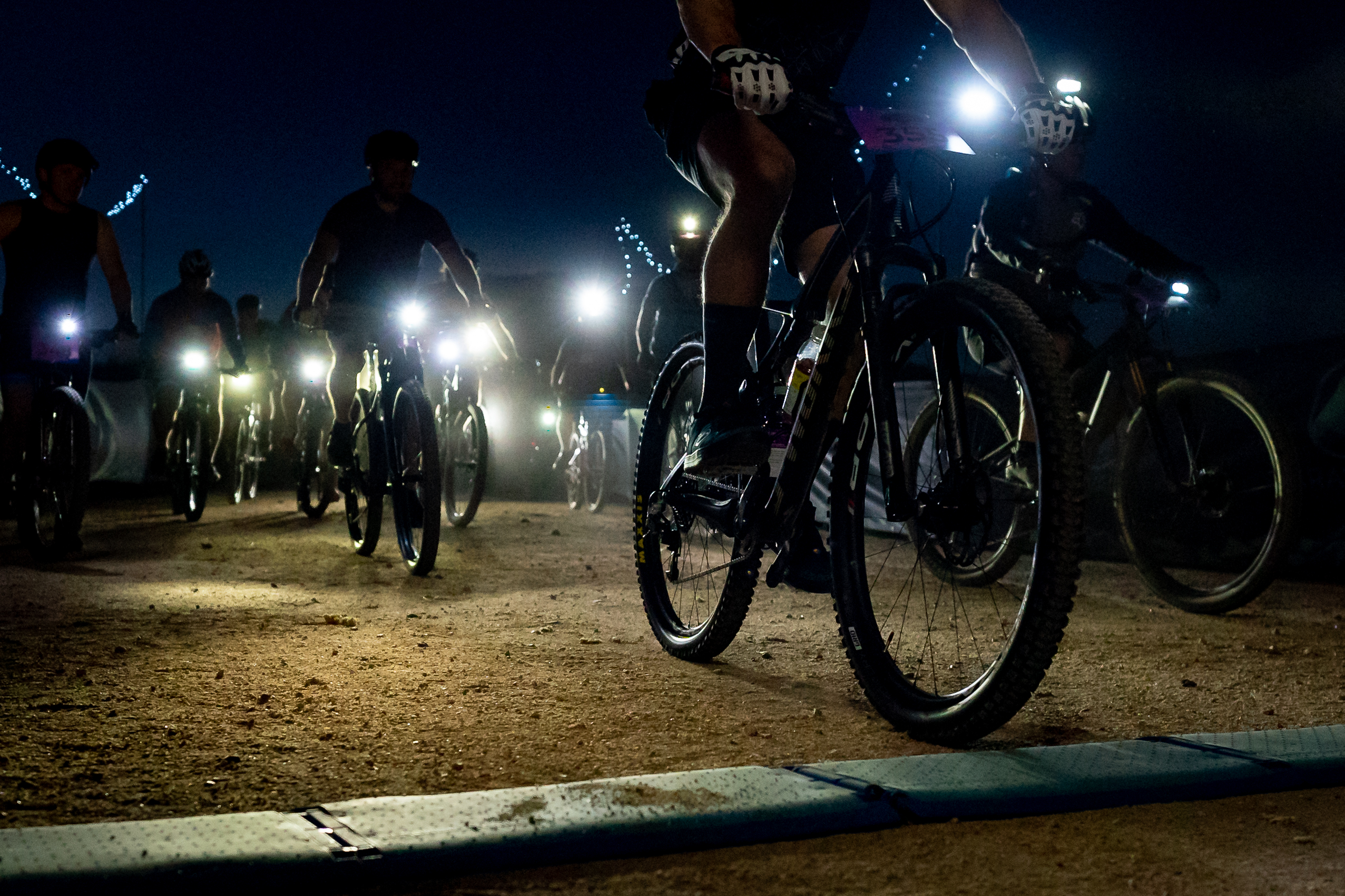
The exchange tent becomes the center of the universe as teammates wait for riders to finish their laps. During the day, the desert can deliver perfect 70-degree February weather. After sunset, lights begin winding across the desert as riders disappear into the darkness for another lap. Through it all, 91.3 KXCI Community Radio provides the soundtrack for 24 straight hours.

And then there are the costumes. At Old Pueblo, Lycra is merely a suggestion. You may find yourself sharing the trail with superheroes, animals, tutus, wigs and costumes that become increasingly difficult to explain as the night goes on. Taking the event seriously and not taking yourself too seriously coexist perfectly here.

That’s what makes 24 Hours in the Old Pueblo different. You can come to race for the podium, challenge yourself to ride solo for 24 hours, put together a team of friends, volunteer, camp or simply experience one of the great gatherings of the mountain bike community.

The bicycles may be the excuse, but the people, costumes, music, camping, desert and community are what make Old Pueblo legendary.

Come for the mountain biking. Stay for the party. And don’t be surprised if you start planning next year’s costume before you’ve even left the desert.

This Link captures the essence of the event better than any other video… but I’m biased as I am one of the minor characters. https://watch.outsideonline.com/series/dispatches/e27xUKcQ-ItgXpnn7?episode=2&season=4&mode=fullscreen


Old Pueblo MTB Midday Mayhem

mountDawn Patrol Eastside :::::
Vail Vortex and more!
This Midday Mayhem is one of the Eastside’s favorite rides! We will start at the GG opening to the Vortex, head South and take the bikes towards Post Comeda ranch. Then its around the campgrounds and towards the back side of the Pistol Hill piece of the AZT. At Pistol Hill road we will take the sweet sweet downhill back to the Vortex and finish strong on the dirt back to the vehicles.
If you haven’t seen the Faerie tree, talk to your ride leader, maybe a detour can be planned 
RIDE GUIDES ::: Eastside Instigator Aric Jack will be your Ride Leader for this Dawn Patrol
DIFFICULTY: Blue, Friendly for most levels of riders, nothing too techy, There is a long slow climb for the first 1/3rd of the ride however, got to pace yourselves.
DISTANCE: about 14-16 miles
MEET TIME: FIP (Feet In Pedals) @ 10 AM, so Meet about 0945. (approx ride time 1.5 – 2.5 hours)
PARK: The dirt lot to the left at Garigans Gulch 9243 S Camino Loma Alta, Vail, AZ 85641

SPONSOR/ORGANIZER :: #OldPuebloMTB #MiddayMayhemEastside w/ Aric Jack & Co.

See less

Old Pueblo MTB OldSkool OG’s

“OldSkool OG’s” :: The Longest standing organized ride that OPMTB offers each week ! The ride that started it ALL. This is generally an Intermediate to Advanced ride with Beginner friendly options to shorten the ride or skip sections to crate an easier route. There’s a loyal & regular following for this ride with an intentional rotation of trails all over Tucson for all levels of interest. OG rides are NO DROP.
RIDE GUIDES ::: Todd Rasmussen, Derek Petz & Jeremy Harper
DIFFICULTY: Blue – Ride it hard or ride it easy, expect 8-12 miles in distance.
MEET TIME: FIP (Feet In Pedals) @ as close to 3:00 PM, so Meet about 2:45 pm. (approx ride time 90mins to 2 hours)
PARK: “Sweetwater Trailhead” on google is right at the main parking lot of Sweetwater Preserve. Easy to find and the Pin drop on this event is accurate.

SPONSOR/ORGANIZER :: #OldPuebloMTB #OldSkoolOGs w/ Todd Rasmussen & Co.

See less