Dear gravel riders, soul surfers & anyone who uses the bike to escape time…
We are Heidi Rentz & Zander Ault
We’re co-creators, gravel cyclists, chefs & party animals. We’re so freaking excited to see you in Patagonia, Arizona for a gravel road race that has inspired every aspect of our lives.
The Spirit World 100 is a down home gravel road expedition that has been in creation for 4 years. We’ve been exploring the outer reaches of our abilities to be spirited entrepreneurs in an attempt to bring something from another universe to the event scene. Our main goal is to connect more people through our contagious love for riding bikes, cooking and throwing a mean party. Now, we just need all you special humans to bring your creative and powerful energy to the desert southwest.
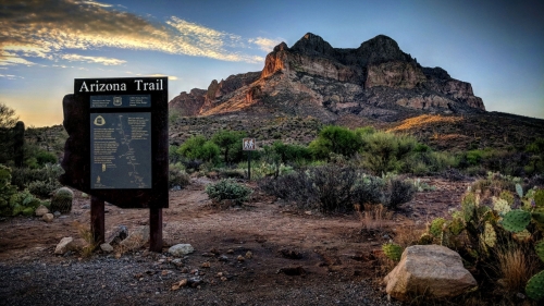
The Spirit World 100 and 50-mile course options are 2 of our most coveted and adored gravel routes in southern Arizona. Each course option is a reflection of the thousands of hours we’ve spent soaring through the San Rafael Valley since 2015. In order to showcase one of the Nations best remote and purely quiet destinations, we have partnered with the Town of Patagonia to invite riders and their families to the high desert. Obsessed with the landscape of the borderlands region, we’ve studied the maps of this area and are working closely with regional government, land management and private entities to make this place more accessible for the entire gravel cycling community. We want to help redefine the future of outdoor recreational tourism in the greater Tucson and borderlands region of The Copper State and The Spirit World 100 will be a key player in this mission.
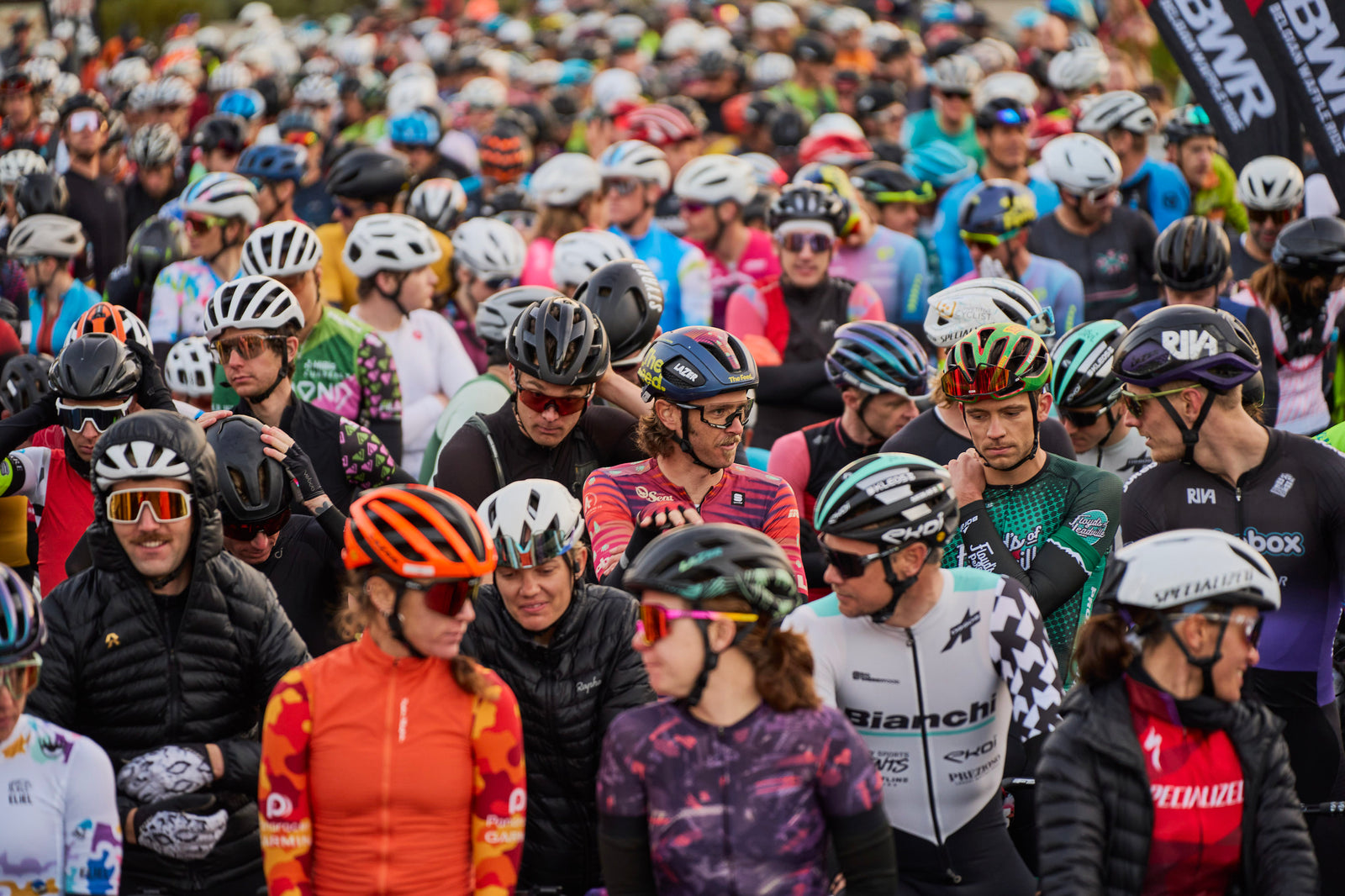
If we said this wasn’t a race, we’d just sound ridiculous. Any time you place 100’s of riders on the start line, it’s a race! This race is a place to find the answer to why challenging ourselves in unfamiliar conditions is so sought after. We’re only human and we were put on this earth to move, sweat, be affected and feel the power of confidence that our raw and natural surroundings can instill. The Spirit World 100 is a celebration of exactly what you’re searching for every time you jump on your bike. You’re welcomed in, wholeheartedly.
Tucson, Arizona is our home. When we aren’t there, we’re hosting private gravel and road cycling camps around the globe. For sometime now, we’ve wanted to create an event that everybody felt comfortable committing to. Cycling camps aren’t for everybody. They may never meet your personal schedule or provide enough of what you’re looking for in a vacation. The Spirit World 100 has been designed to deliver fun, challenge and growth oriented human interaction over the course of 4 days. We couldn’t be more excited to show you Patagonia, Arizona and the San Rafael Valley. See you in The Spirit World!
Teeth to the wind,